Neeta Khanuja

design · 2018 to 2019

wayfinding with dementia

Dementia affects memory and the sense of direction. People in the early stages often stop going out alone, and they lose exercise, confidence and social contact with it. Most navigation tools are built on GPS maps, which can overwhelm someone with cognitive difficulties.

This master’s thesis asked whether a wayfinding tool could start from what a person already knows: the landmarks, routes and places in their own mental map of the neighbourhood.

Master’s thesis, International Media Architecture Master Studies, Bauhaus-Universität Weimar and University at Buffalo · supervised by Jan Ehlers and Edward Steinfeld · RESNA 2018 · poster

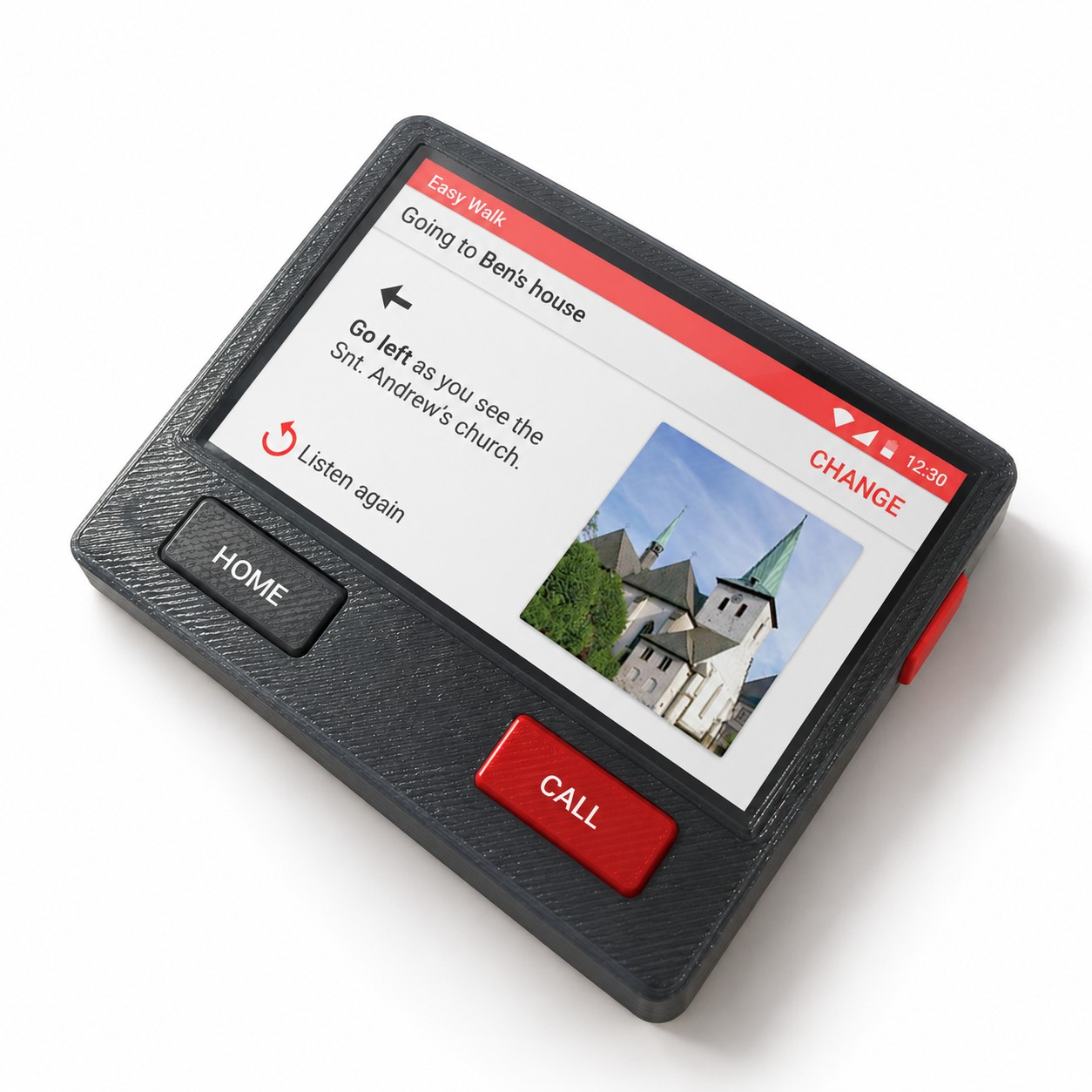
The handheld prototype: a dark textured body with HOME and CALL buttons below a screen that says, going to Ben’s house, go left as you see St. Andrew’s church, with a photo of the church.
the third handheld form, re-rendered from the 3D-printed prototype
i.

narrowing the scope

We mapped the field first: kinds of cognitive difficulty, independent living, wayfinding behaviour and interaction design. We started with two groups, people with traumatic brain injury and people with dementia, and narrowed to mild to moderate dementia. Of four contexts for wayfinding, we chose walking in one’s own neighbourhood, because people with dementia eventually give up driving.
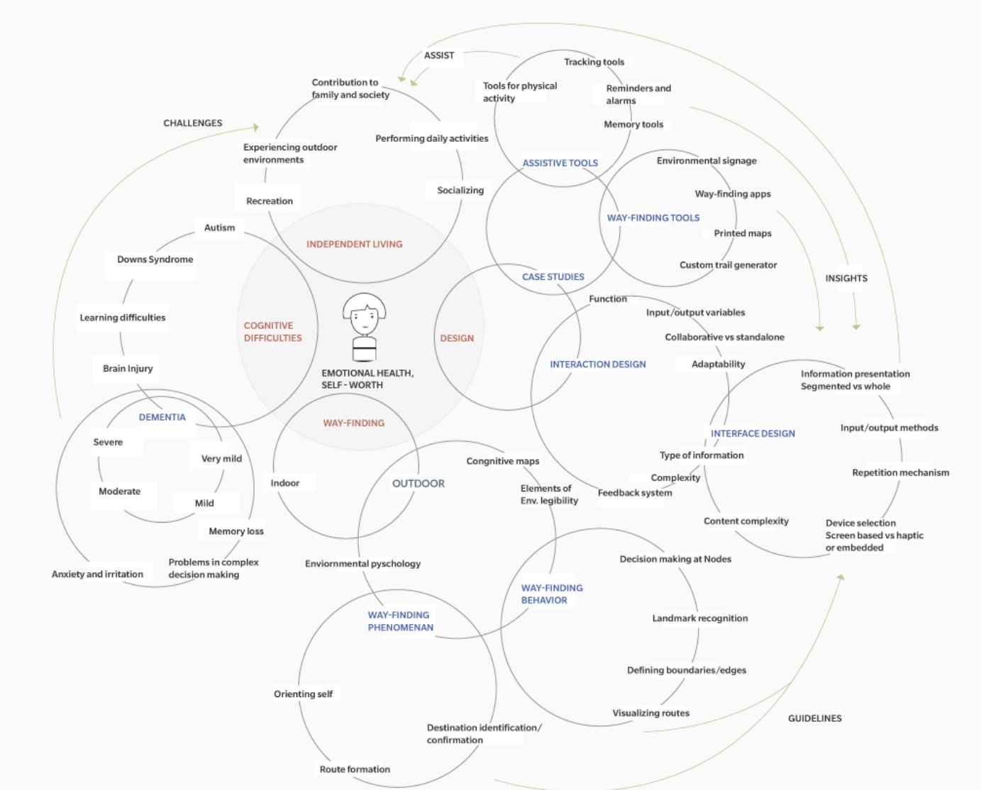

A circular mind map of the theoretical framework: wayfinding, cognitive difficulties, independent living and interaction design.
ii.

familiar and unfamiliar places

In a familiar place, we find our way from memory: we recognise landmarks and decide at each junction. In an unfamiliar place, we lean on maps, apps and other people. Dementia makes both harder, with memory loss, anxiety, sensory changes and a weaker sense of orientation.

Three drawings: a person between a destination flag and landmarks; a person using GPS apps, maps and other people; a person surrounded by anxiety, sensory difficulties, memory problems and lack of orientation.
iii.

a personal map first

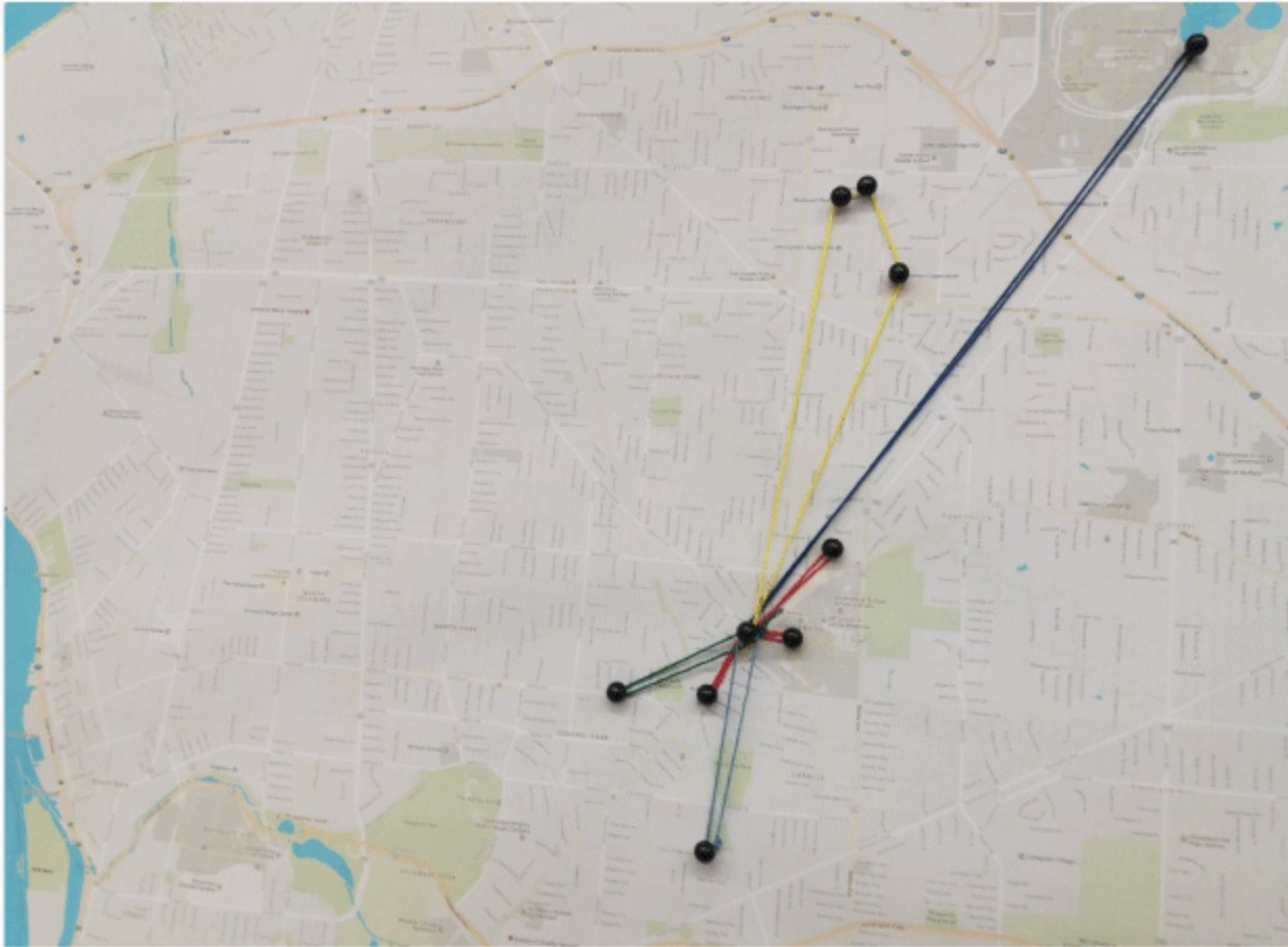
To understand mental maps, we started with a personal one: everyday places in Buffalo, pinned on a printed map and linked to home with thread. The colour of each thread showed how often each place was visited.

Threads from home to everyday places in Buffalo, coloured by how often each was visited.
iv.

eleven hand-drawn maps

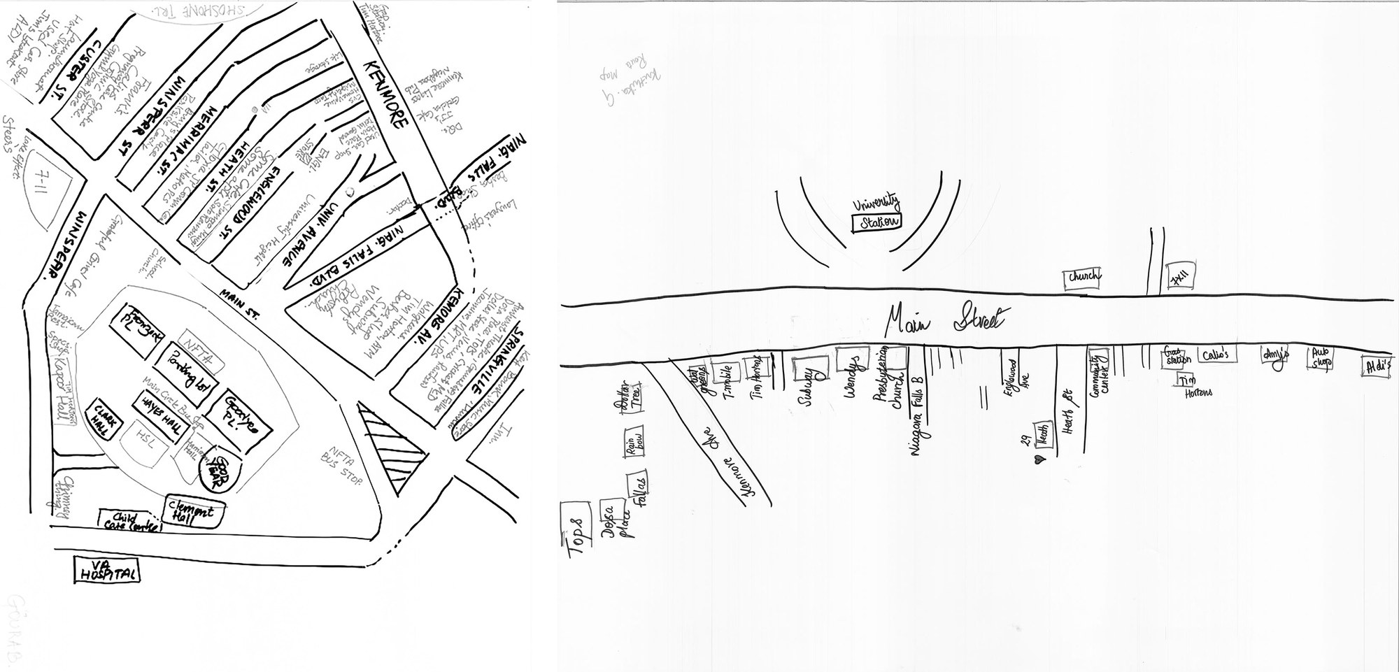
Eleven students who lived near the University at Buffalo and walked everywhere drew a map of their neighbourhood, with no boundary set. They then drew routes from home to two supermarkets. Afterwards, we asked why they remembered each landmark.

A dense hand-drawn neighbourhood map with street names and landmarks, and a sparser route map drawn along a main street.
one neighbourhood map and one route map from the study
v.

what the maps showed

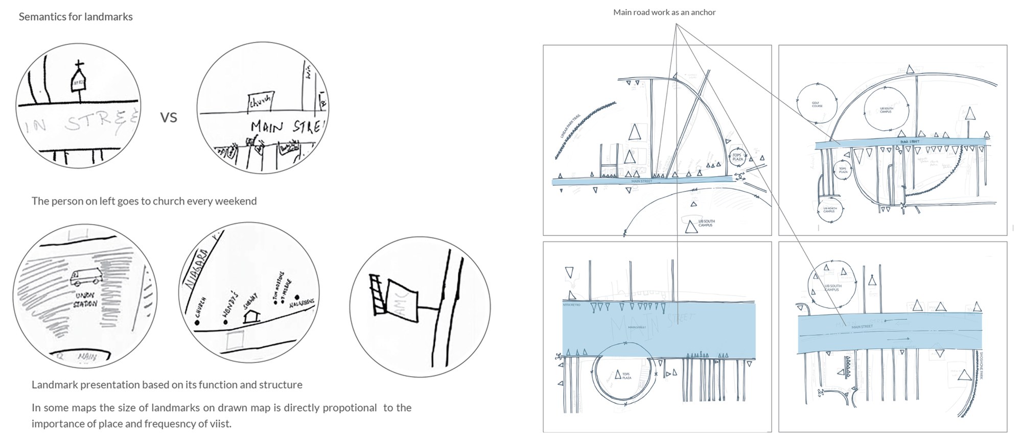
We read the maps through Kevin Lynch’s paths, nodes, landmarks, districts and edges. Without a boundary, people anchored the map on the main street and branched out from it. Landmarks carried meaning: a church appeared on the map of someone who went every weekend, and places people visited often were drawn larger.

Having visited a place was the most common reason for remembering it. Others were a friend’s recommendation, size, lights or a garden, a mirrored facade, or a shop that had just opened.

Details from the drawn maps showing how landmarks were drawn, and four maps traced to show the main street as an anchor.
vi.

a month in Arnsberg

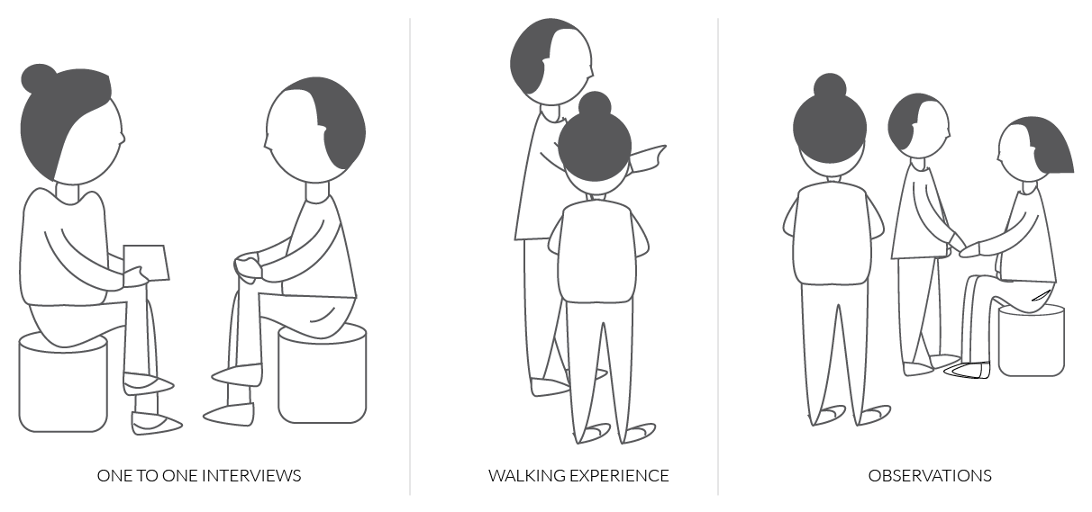
Arnsberg, a small town in Germany, has a strong dementia-friendly community. With an interpreter, we spent a week and then 25 days there. We interviewed people living with dementia, their families and carers, nurses, a doctor and care services. I joined the morning routine at a senior home and a day at a day care centre, and walked with a woman with mild dementia on her usual route to a flower shop.

Before that, we spoke with an independent living centre in Buffalo and with a man living with a brain injury.

Drawings of the three methods: one-to-one interviews, a walking experience and observation.
vii.

days at the centres

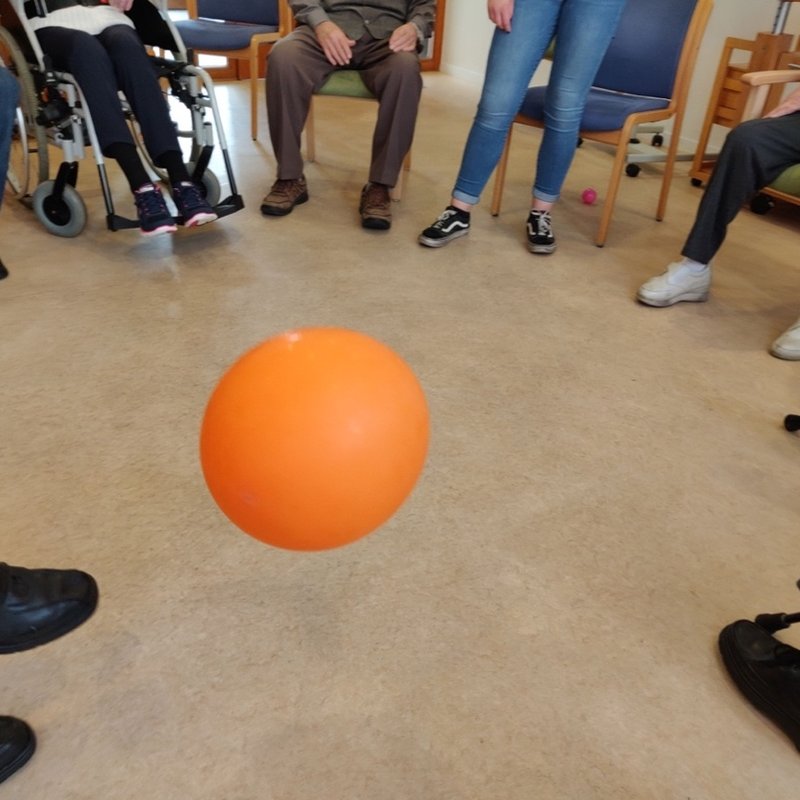
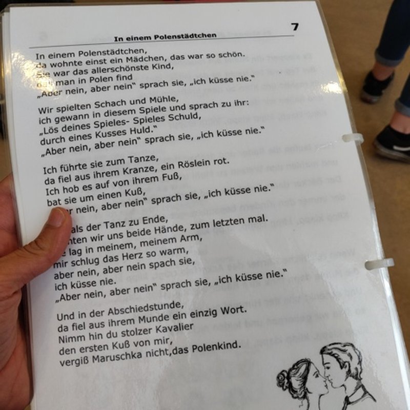
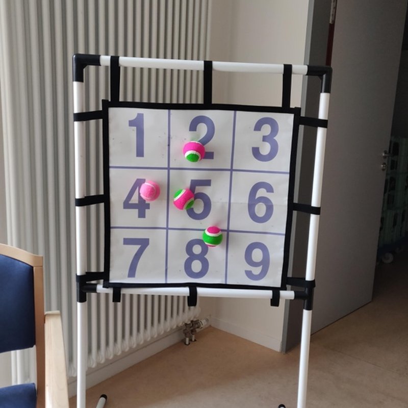
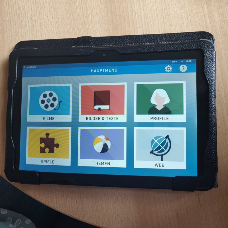
We joined the daily routines: exercise in a circle of chairs, the morning newspaper read aloud with word and number games, and waffles in the afternoon. Answering correctly in the games gave people visible confidence. People also showed us what they carried and used every day, from watches and simple phones to alarm buttons and kitchen aids.

A ball on the floor in the middle of a circle of chairs, with only legs and feet visible.
morning exercise in a circle
A printed newspaper page held open during the morning reading session.
the newspaper, read aloud
A grid of numbers with balls stuck to it, used for a counting game.
a number game
A tablet showing a simple picture menu of activities.
a picture menu for group activities
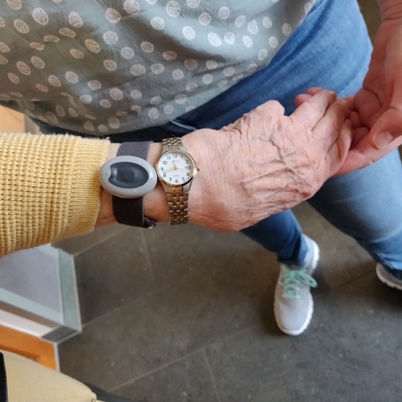
A wrist wearing two watches, a hand resting on it.
two watches on one wrist
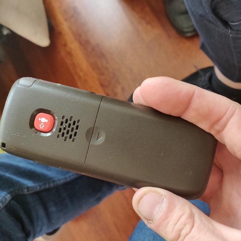
A hand holding a simple phone with a single red emergency button.
a phone with one red button
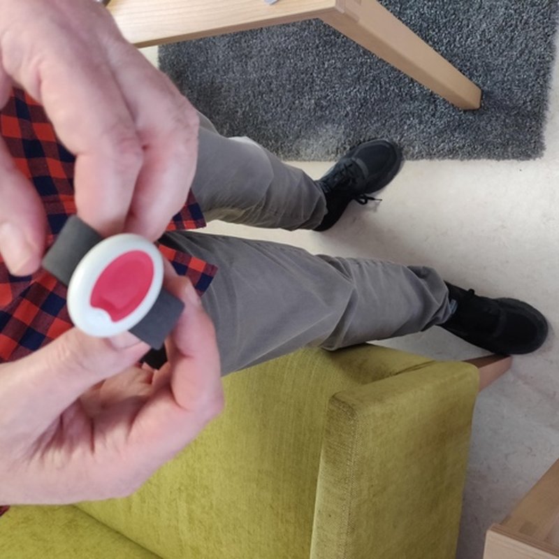
Hands holding a round wrist alarm button with a red centre.
a wrist alarm button
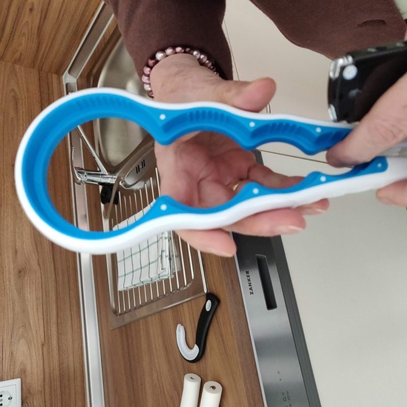
Hands holding a blue jar opener over a kitchen counter.
a jar opener
viii.

a town already designing for dementia

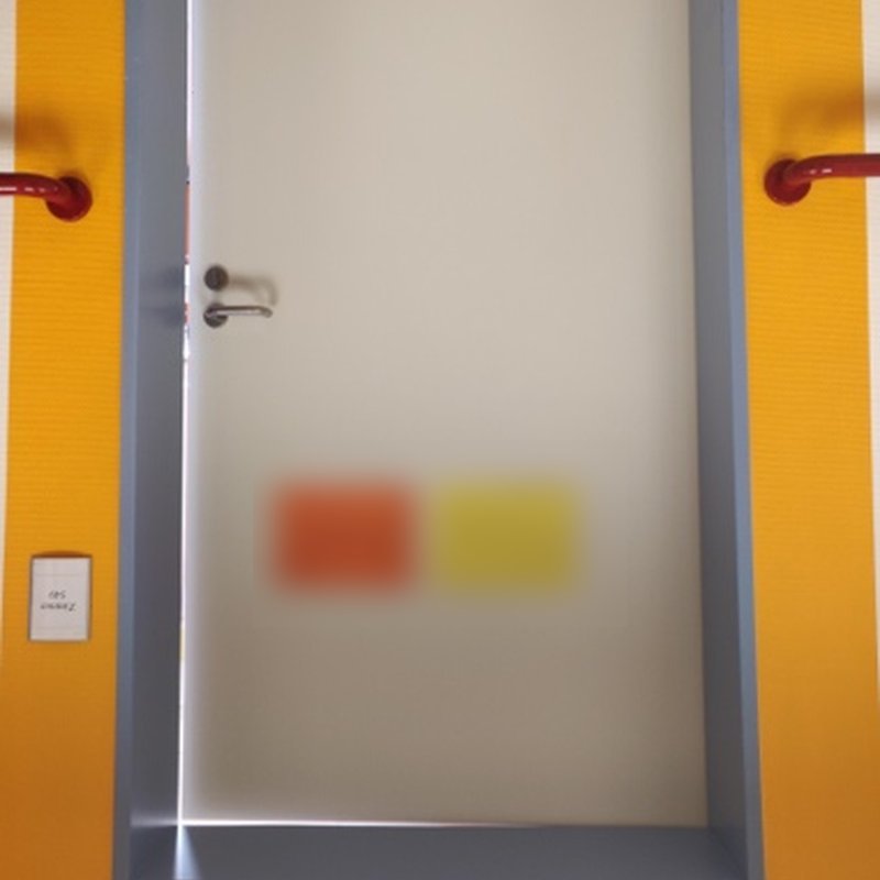
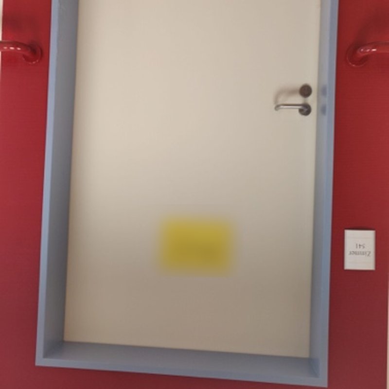
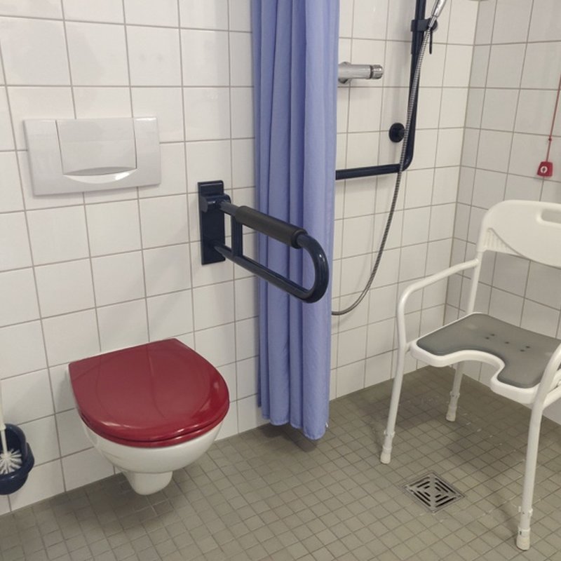
Arnsberg was full of design for dementia. On one hospital ward, each door had its own coloured frame so people could find their room, and red marked what needed attention in the washroom. In homes we saw the devices people were given, or had made for themselves: alarm buttons, phones with large keys, and the changes one husband made to his house while caring for his wife. Several people had an alarm button and chose not to use it.

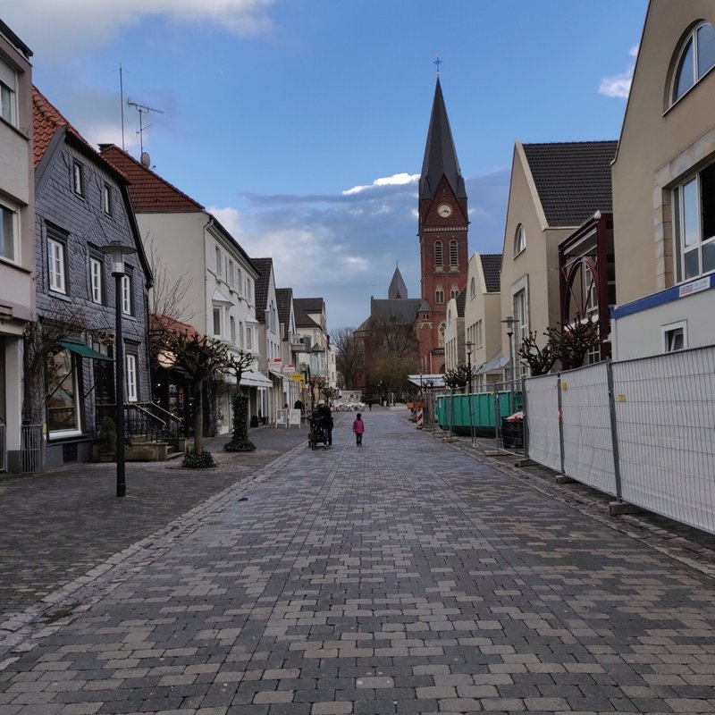
A cobbled street in the old town of Arnsberg, with a church spire.
the old town of Arnsberg
A door in a yellow frame on a clinic ward. Name cards are blurred.
a coloured frame to find one’s room
A door in a red frame on the same ward. Name card blurred.
each room has its own colour
A washroom with a red toilet seat and dark grab rails.
red where attention is needed
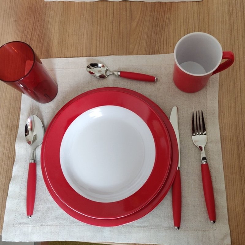
A place setting with red-rimmed plate, red cup and red-handled cutlery.
red tableware on a white plate
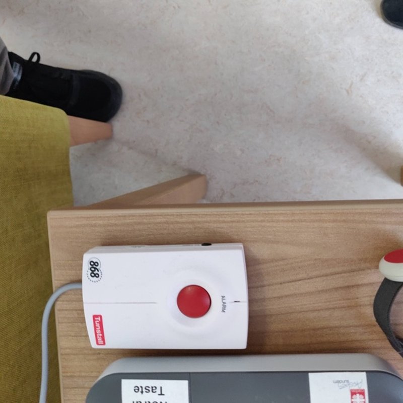
A home emergency alarm unit with a red button and a wrist button.
an emergency alarm button at home
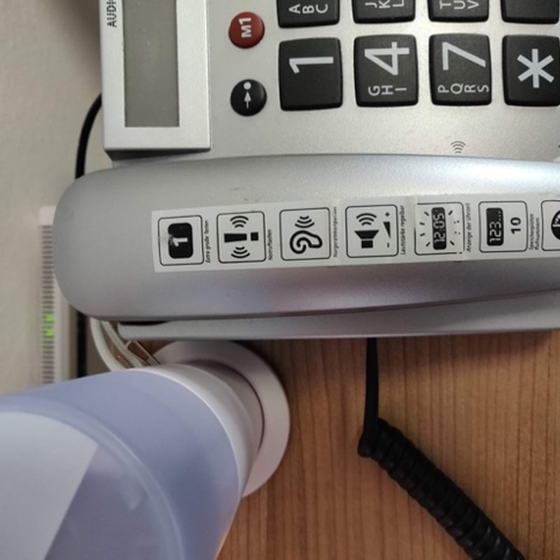
A desk phone with large number keys and picture buttons.
a phone with large keys
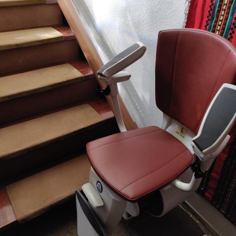
A stairlift on a home staircase.
a stairlift in a carer’s home
ix.

what people told us

At the centres, staff never talk about dementia with their guests. Many people in the early stages do not see themselves as needing help, and an emergency button looks like a medical device. Self-image mattered; so did a sense of control. Carers asked different questions: what happens after a wrong turn, and when should someone be told?

“I will use it when I need it.”

a common answer about the emergency alarm armband

“Something like this would be wonderful for my husband. He does not have dementia but he loses his way quite often.”

director of a home care programme, Buffalo

x.

the decisions in the tool

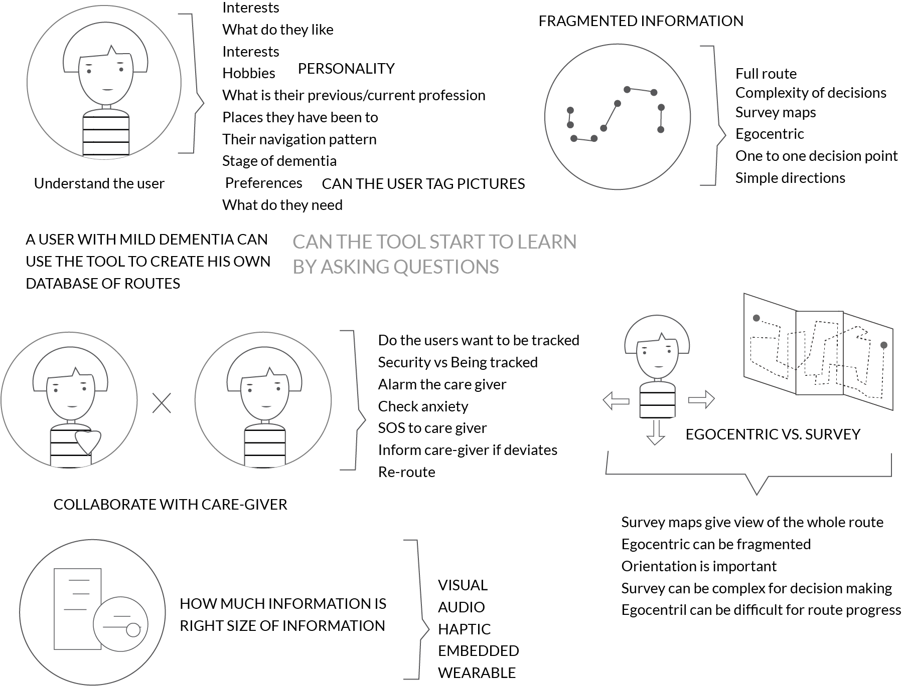
We listed the choices the tool would have to make. Collaboration with a carer, or freedom to walk alone? A survey map of the whole route, or directions from where the person stands? How much information, and in what form?

Brainstorm sketches: understanding the user, collaborating with a carer, egocentric versus survey maps, and how much information fits on a screen.
xi.

a first draft, then two parts

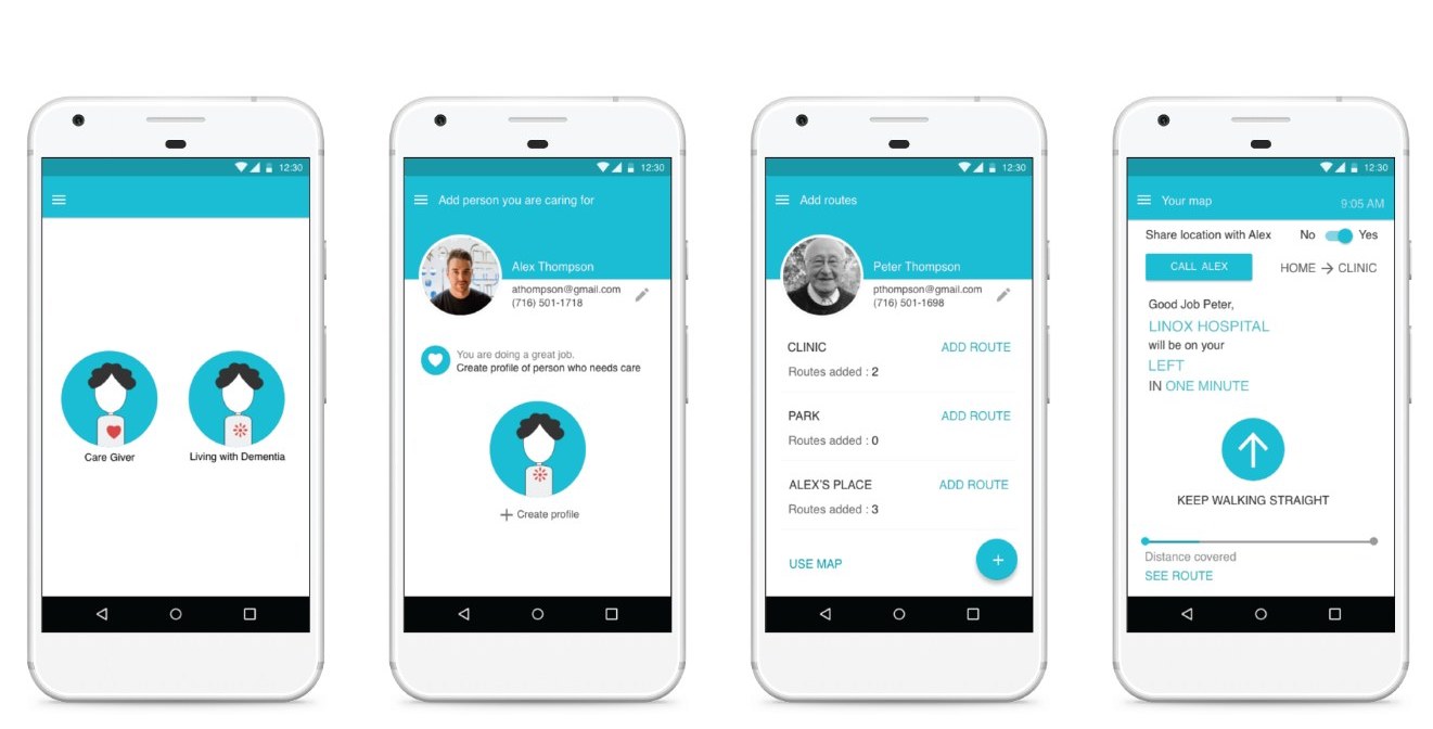
The first draft was one phone app with two roles: the carer builds the person’s map, and the person uses it. In a feedback session, switching roles in one app proved confusing. We split the concept in two: a phone app for the carer, who builds a profile and a map of the places the person visits, and a simple handheld device with an armband for the person.

Four screens of the first app: choose a role, create a profile, add places and routes, and walking directions.
xii.

Emma and Ben

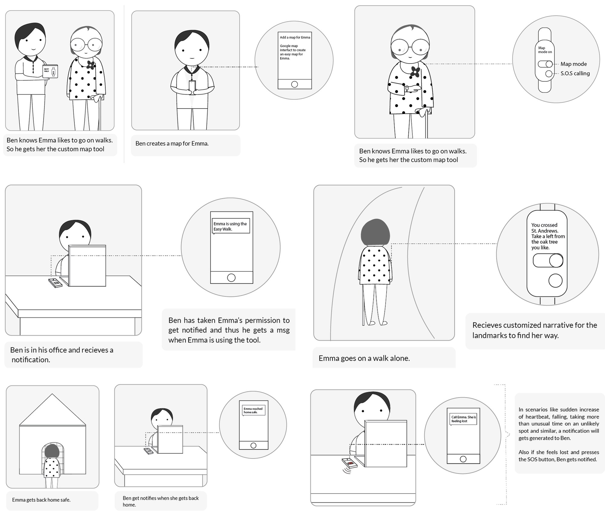
Two personas from the fieldwork carried the concept. Emma is 78, recently diagnosed, and lives alone in the neighbourhood where she has lived for 30 years. Her son Ben lives in the same town. Ben makes a map for Emma; with her permission, he is told when she goes out and when she is back. On the walk, Emma gets directions through her own landmarks: “you crossed St. Andrew’s, take a left from the oak tree”.

Storyboard: Ben sets up a custom map for Emma, gets a notification at work when she starts a walk, Emma walks alone guided by landmarks, and Ben is told when she is home.
xiii.

one thing at a time

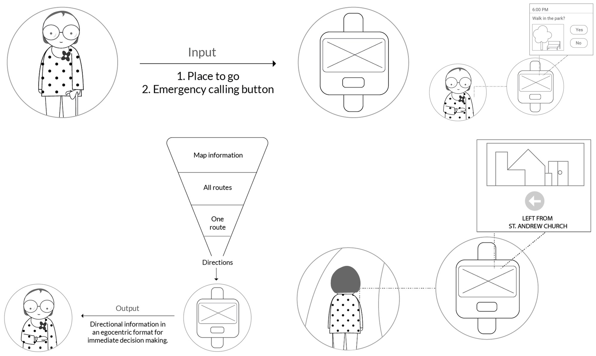
We cut the input to two actions: choose where to go, and call for help. We cut the output to one: the next direction, shown from where the person stands, with a picture of the next landmark. The device asks at the usual time (“walk in the park?”) and gives one instruction at each stage, from leaving to arriving.

Interaction diagrams: two inputs, a prompt asking about a walk in the park, map information funnelled down to one direction, and a landmark-based instruction on the device.
xiv.

an armband and a handheld

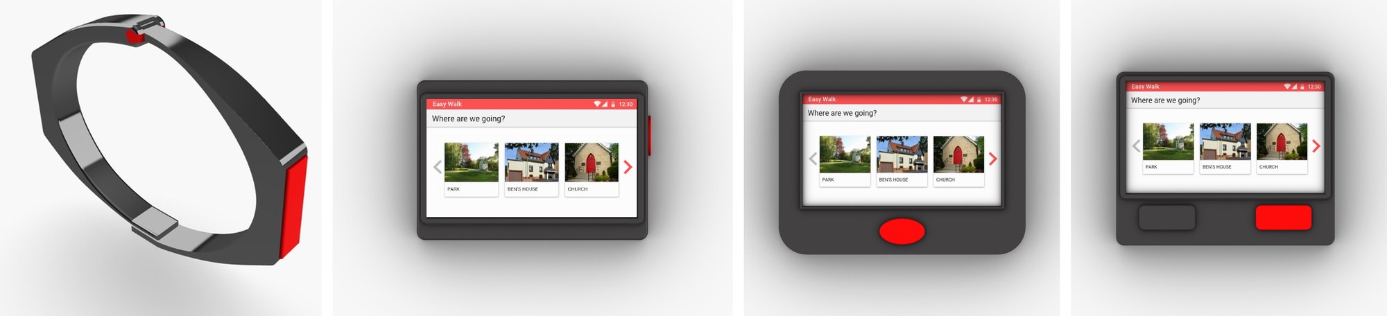
The concept became two devices: an armband with an emergency button, and a small handheld with a screen for choosing a place and following directions. We tried three forms for the handheld. The first had the call button on the side; the second moved it to the front; the third added a separate home button. We 3D-printed all three as non-functional prototypes.

Renders of the armband with a red call button, and three handheld forms showing photos of places to choose from.

feedback and open questions

A domain expert from Arnsberg’s office for aging reviewed the concept. He asked us to keep the information close to what people already know, to consider printed maps as a tangible output, and to test with a working prototype, since a mock-up would mean little to people living with dementia.

The prototypes answer the functional questions only in part. The harder questions are about the object and its place in daily life, and we would start there next: